
Ask a group of first graders where they live, and you’ll get answers like “in a blue house,” “next to the park” or “America.” All of them are correct. None of them are on a map yet.
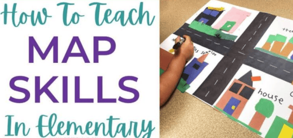
That’s where early geography starts. Young children already think about space and place every day. They know the way to the cafeteria, which side of the room their cubby is on and how far it is to Grandma’s. Map skills give that natural awareness a structure, and the earlier kids get it, the easier geography, science and even math become later.
Why Map Skills Matter in the Early Grades
Reading a map is more than a social studies objective. It combines several skills young learners need:
- Spatial thinking: understanding where things are in relation to each other
- Symbol reading: knowing that a small picture can stand for something real
- Vocabulary: words like north, border, continent, ocean and key
- Problem-solving: using information to find a route or answer a question
- Real-world independence: finding their way around a school, a park or a city
Start Small and Build Outward
The biggest mistake in teaching early geography is starting too big. A globe or a world map means very little to a five-year-old who can’t yet picture their own street from above. Work from the familiar to the far away:
- Me: where my body is in the room (left, right, in front of, behind)
- My classroom: a simple bird’s-eye view of desks, the door and the rug
- My school: hallways, the library, the playground
- My neighborhood: home, streets, stores, parks
- My town and state: cities, rivers, highways
- My country: states, borders, major landmarks
- My world: continents and oceans
Each step uses the previous one as a reference point, so new ideas always connect to something kids already understand.
What K–2 Students Should Learn by Grade
Expectations vary by state, but most map skills curricula follow a similar progression.
| Grade | Core skills | Example activity |
|---|---|---|
| Kindergarten | Positional words, maps vs. pictures, simple symbols, land vs. water | Draw a map of your bedroom or the classroom rug area |
| 1st grade | Map keys, cardinal directions, maps of school and neighborhood, globes | Make a classroom map with a key and label north, south, east and west |
| 2nd grade | Compass rose, continents and oceans, U.S. states, landforms, simple map grids | Find your state on a U.S. map and trace a route between two cities |
Hands-On Map Activities That Work
Young children learn geography best when they can move, build and draw. A few ideas that need little prep:
- Bird’s-eye view challenge: place a toy on the table and have kids draw it from directly above.
- Classroom treasure hunt: hide an object and give students a simple map with a key to find it.
- Compass walk: label the walls of the room with N, S, E and W, then call out directions (“Take three steps east”).
- Map of my route: have kids draw the way from home to school, adding landmarks they pass.
- Salt-dough landforms: model mountains, valleys, rivers and islands, then label them.
- Puzzle maps: U.S. or world map puzzles are a quick center activity that builds recognition of shapes and names.
Pair Map Skills With Reading
Geography fits naturally into literacy time. Short informational passages about continents, oceans, landforms or the parts of a map teach key vocabulary while kids practice main idea, details and text features. Students who read about a compass rose and then use one on a real map remember it far better than those who only hear the term once.
If you need ready-made texts, apageoutofhistory.com offers printable geography reading passages with comprehension questions written for kindergarten through second grade. They cover topics like map skills, continents and landforms, and they’re designed to print and use the same day, which makes them easy to drop into morning work, centers or homeschool lessons.
Common Mistakes to Avoid
- Jumping to the globe too early. Kids need to understand small, familiar maps before abstract ones.
- Teaching directions as “up” and “down.” North isn’t always up in real life. Practice with a compass and real surroundings.
- Skipping the map key. Symbols are the core of map reading, so give them plenty of time.
- Using only worksheets. Movement and building make spatial ideas concrete.
- Treating geography as a one-time unit. Short, regular practice throughout the year works better than a single two-week block.
Bringing Map Skills Home
Parents and homeschoolers have endless real-world opportunities to practice:
- Let your child follow along on a map during car rides or walks.
- Look up places mentioned in books, news or family stories.
- Hang a world or U.S. map at child height and mark places relatives live or you’ve visited.
- Use a park or zoo map to plan your route together.
FAQ
At what age can children start learning map skills?
Most kids can start around age four or five with positional words and simple drawings of familiar spaces. Formal map reading with keys and directions usually begins in kindergarten or first grade.
When should kids learn the continents and oceans?
Usually in first or second grade, after they understand that a map is a smaller, bird’s-eye picture of a real place.
How do I teach cardinal directions to young children?
Label the walls of a room with north, south, east and west, play movement games and connect directions to real landmarks, like “the playground is east of our classroom.” A simple phrase like “Never Eat Soggy Waffles” helps with the order on a compass rose.
What’s one thing you know now that would have saved your younger self a lot of pain?
View all responses


