Housing is the largest component of urban land use in the city, which determines the future living patterns. Judicious use of land means judicious use of residential areas. An ever growing population & increasing activities & facilities in cities have put tremendous pressure on urban land. Thus it becomes very important to utilize the scarce resource of land in a planned manner.
Housing density is the measure of intensity of occupation of land and one of the major component in land use plans made for land use planning. Density indices by themselves do not have any connection with the living conditions of the area but they do establish a distinct relationship between the people and the amount of land they need to attain a certain standard of living. The built form in the city is representatives of its progress and prosperity. Thus, it is an important tool for the physical planners.

Row development ( CC0 Public Domain image)
The approaches for determining the residential densities have been changing over the time. The earlier approaches have been explained at the city level. But today, as more & more population started concentrating in the cities, the study outlook shifted from the city level to smaller levels – the sector or area level, which finally decides the overall density. Walkability should also be kept in mind while planning.
Intensification: Intensification occurs when an existing building, site or area within the existing urban area is developed or redeveloped at a density higher than what currently exists. This can occur through:
- Redevelopment of sites, including the reuse of brownfield and greyfields sites;
- Development of vacant and/or underutilized lots within previously developed areas;
- Expansion or conversion of existing buildings, such as office buildings to residential
Buildings & the
- Construction of new developments that combine a mix of uses for a more efficient use of land.
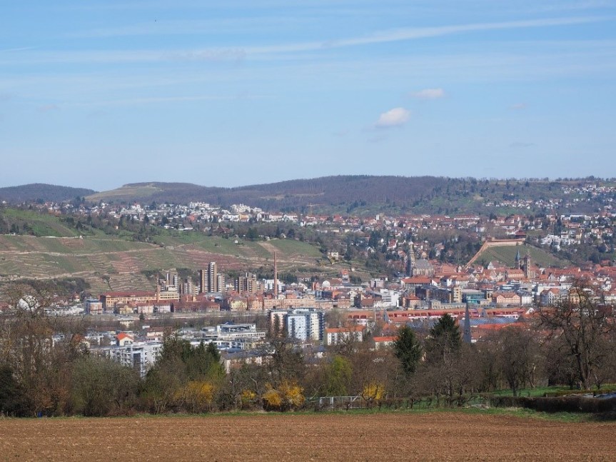
Development on greenfield ( CC0 Public Domain image)
Process of Intensification: The process of intensification of residential areas is a dynamic process, which is a result of the changes in life cycles of the residents i.e., the changing needs, capacities/affordability and incomes of a household. There are two ways of intensification:
- Incremental addition to the built form
- Addition in the size of the household i.e., to accommodate more number of people.
This “progressive development” is a global process. There is a shift from the need of people to their greed.
The process of intensification is a dynamic process. The unplanned intensification, beyond the carrying capacities of the area causes the problem. Both the planned and unplanned areas all over the world are undergoing illegal intensification without the augmentation of infrastructure to cater to the ever-increasing housing need. The increasing population density, dwelling unit density, plot density, FAR & area under plots, taken as the indicators of intensification, creates stress on infrastructure generating poor environment quality and living conditions for the residents.
The extent of intensification varies in various housing sub systems. The unauthorized colonies, a predominant subsystem, are growing denser. The Aerial photographs have shown a densification of over 70% between 1993 and 2002. The politicians claim, the residents have learnt to co-exist by sharing the available resources and are insisting on the process of regularization of colonies, wherein the colonies are bound to grow vertically, further adding the pressure. Today, the increasing land costs and housing demand have encouraged the residents of the planned colonies to subdivide their plots. Apartments are constructed on the plots deviating the prescribed bye-laws for residential development in the city. These increasing pressures on land raises tremendous problems for the planners to regulate the growth of the city and the carrying capacities remain un-augmented.
Author Bio:
Shubham Aggarwal, founder of PlanningTank is an Urban Planner from India working to improve the human settlements. PlanningTank is the Urban, Regional, and Rural Planning Knowledge base which provides insight into to urban and rural areas. It focuses on educating, engaging and developing the community.

